Sunday, May 12, 2013
Sunday, June 26, 2011
Newtown Creek Toxic Superfund Site

The geographical border between Brooklyn & Queens, NY is an estuary known as Newtown Creek. A few months ago it was finally declared a Superfund site after decades of community action.
Thursday, May 19, 2011
Groundwater Model
 Three-dimensional conceptual model of groundwater. The upper layers visualize conductivity and permeability of soils; sinkholes and caves above the aquifer level; aquifer recharge estimates. Lower layer is the aquifer vulnerability map. Vertical lines represent the monitor wells. This is based on an ESRI arcGIS map.
Wednesday, March 30, 2011
Eve Andree Laramee's Project Visualizing Radioactive Ohio Groundwater


Interdisciplinary artist, Eve Andree Laramee, has launched a project examining the environmental and toxological impacts of releases of radioactive materials into the Ohio Groundwater near the former Fernald Uranium Feed Plant.
In 2009, New York based artist, Eve Andree Laramee proposed to the Akron University "Synapse", a project focusing on groundwater, well water and aquifer water polluted with radioactive isotopes by four sites in Ohio: Fernald, Mound, Ashtabula, and Portsmouth. Laramee proposed a series of visionary projects that address water issues in Ohio. Numerous sites and watersheds have been affected by radiotoxins in this region of the Unites States by Department of Defense facilities for producing nuclear weapons.
In 2011, the Synapse funded a residency for Laramee to work with two computer scientists, Kalyan Thokala and Yingcai Xiao. Using data from the Department of Energy database, they mapped the sample wells by depth, where the following radioactive isotopes were detected: plutonium, uranium, radium, thorium, technicium. These radioactive isotopes have entered the Great Miami Aquifer. The Fernald site is surrounded by agricultural land. The next step in our project will use data from wells on the surrounding agricultural areas.
The final map project will show the extent of the radioactive plume underground.
The project title is "Invisible Fire" and is part of a larger series of works which comprise a national atlas of radioactive waste sites.
Copyright 2011 Eve Andree Laramee. All rights reserved.
Monday, June 21, 2010
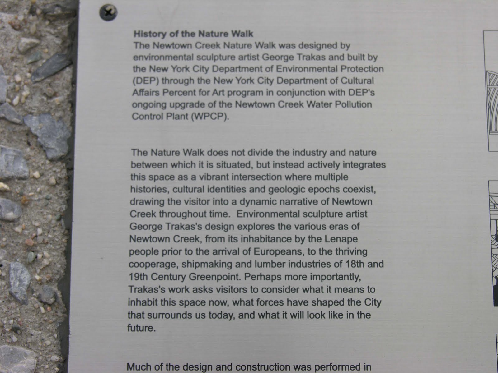
Newtown Creek Wastewater Treatment Plant Public Art Project by George Trakas
George Trakas public art environment at the Greenpoint, Brooklyn wastewater treatment plant.
http://urbanomnibus.net/2009/03/george-trakas-at-the-waters-edge-newtown-creek/


http://urbanomnibus.net/2009/03/george-trakas-at-the-waters-edge-newtown-creek/


Tuesday, June 8, 2010
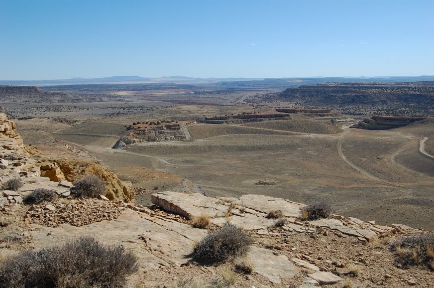
St. Anthony Uranium Mine
The St. Anthony Mine is an unreclaimed open pit uranium mine, formerly operated by United Nuclear Corportation. St. Anthony is adjacent to the Jackpile Mine, the worlds largest reclaimed open pit uranium mine, near the village of Paguate at the Laguna Pueblo in Cibola County near Grants, New Mexico. Surface and ground water monitoring continues to register elevated levels of uranium contamination compared to standards set within compliance.
All photographs by Eve Andrée Laramée, copyright 2009. Please use with permission and credit the artist. Contact: http://evelaramee.com


Jackpile Uranium Mine
The Jackpile Mine was the worlds largest open pit uranium mine. Located at the village of Paguate on the Laguna Pueblo near the Grants, New Mexico uranium mining district, it was operated by the Anaconda Mining Company (ARCO - Atlantic Richfield) from 1953 to 1982. The Pueblo of Laguna set up a company to oversee the reclamation of the mine, as no standards for such existed when the mine closed in 1982. The mine lease covered 7,868 acres, and by December 2006, 33,000,000 cubic yards of earth were again displaced to reclaim 2,700 acres. Surface and ground water monitoring continues to register radioactivity throughout this area.
All photographs by Eve Andrée Laramée, Copyright 2009.
Please use with permission only and credit the artist.
Contact: http://evelaramee.com


Subscribe to:
Posts (Atom)